
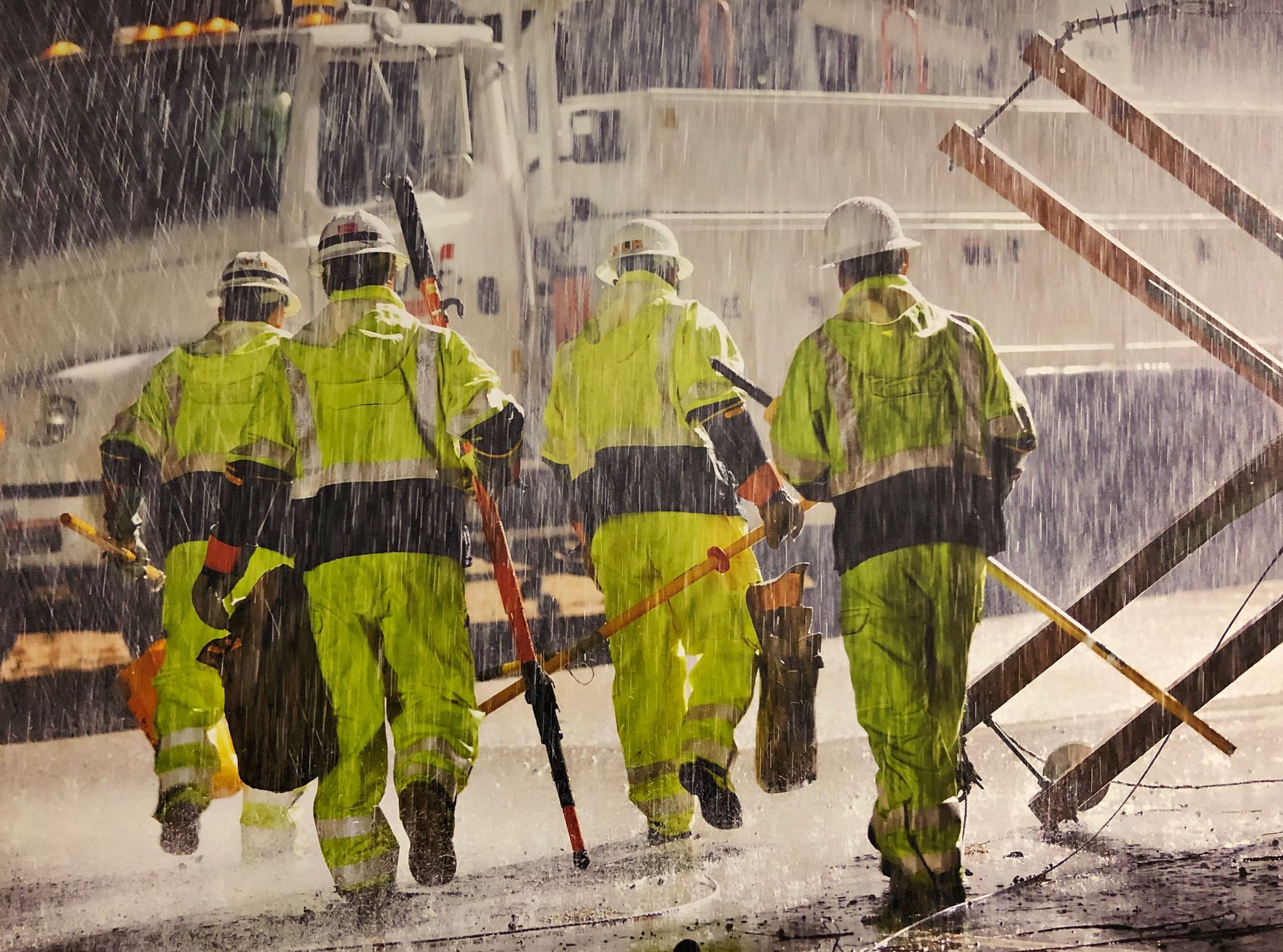
As another strong storm enters our region, we have fully staffed our operation centers to ensure there are enough boots on the ground to respond to outages quickly and safely.
Our team of meteorologists have been closely monitoring this storm system for days and will continue to provide comprehensive weather reports to our field crews, public safety partners and the public, so we can all be prepared for what’s coming.
Some storm-related outages are unavoidable, but we're taking a number of precautions to try to minimize these incidents. From snow and ice in the mountains, to rain and flooding along the coast, weather often impacts the operation of our system.
SDG&E has proactively prepared for the storm by:
- Increasing inventory and equipment at operations centers, such as fuses, power poles, sand, sandbags and plastic sheeting.
- In addition, each operation center will have floodwater removal equipment (such as pumping trucks) on hand to help remove water in our underground facilities, if needed.
- During conditions like this, our operations centers often see an increased number of cars hitting power poles or transformers which can cause outages. Please drive safely in rainy conditions.
Forecasting the weather to keep you safe
Using sophisticated weather tools, our meteorologists are forecasting the following:
- Storm Timing: Scattered showers will develop around noon on Monday, turning to widespread moderate to heavy rain during the evening commute. Rain will transition to scattered showers after midnight. Hit and miss showers will continue through Tuesday and beyond.
- Rainfall Amounts: Widespread 1-2 inches of rain for the coast, valleys, and mountains Monday afternoon through Monday night; locally up to 3 inches possible.
- Regional Impacts:
- Heavy rain could result in urban flooding, resulting in impacts to the evening commute.
- The San Diego River is forecast to rise to near flood stage Monday evening and night, impacting low water crossing in Mission Valley.
- Snowfall: Snow levels will be around 6,000 feet. Accumulating snow will be limited to the highest peaks in San Diego County.
- Winds: Breezy southerly winds are expected in all areas with gusts generally between 20-30 MPH. Localized higher gusts possible along the coast and on exposed hilltops.
- Lightning: Although a few lightning strikes cannot be ruled out during Monday’s evening commute, there is a slightly better chance for coastal lightning during the day, Tuesday.
You can stay safe and protect yourself and your loved ones with the following tips:
- If you see a downed power line, call 911 and SDG&E immediately at 800-611-SDGE (7343). Always assume that power lines are energized and do not touch them.
- Take extra precautions by staking trees to the ground, because trees can fall over if the ground is oversaturated with water. If a branch or tree falls on a power line, do not try to remove it. Call SDG&E immediately to report the situation.
- Don’t rely on candles during a power outage as they post a significant fire hazard. Instead, use a flashlight. Also, unplug any large appliances and sensitive equipment to avoid any power surges once power has been restored.
For additional outage preparedness tips and the latest information on power outages visit sdge.com/outage-center.
Photo credit: Darin Fong Photography