
San Diego Gas & Electric (SDG&E) and Southern California Gas Co. (SoCalGas) today received a prestigious international award for their innovative use of location intelligence and spatial analytics. Geographic information system (GIS) is the foundational system that provides information about gas and electric networks to enhance situational awareness and decision making for the assets and customers at both utilities. SDG&E and SoCalGas were recognized by Esri for being industry leaders before a crowd of 18,000 international technology experts and GIS users at the Esri International User Conference in San Diego.
The Enterprise GIS Award is given annually to an organization that uses geographic information system software to provide meaningful business intelligence across the organization – from staff to field operations to management.
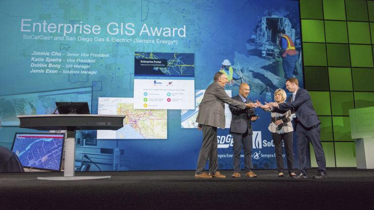
“Esri’s ArcGIS platform helps both SoCalGas and SDG&E deliver energy safely and reliably to our 25 million customers by giving us real-time data to make informed decisions," said Jimmie Cho, senior vice president of customer services for SoCalGas and senior vice president of distribution operations for SoCalGas and SDG&E. “Whether it’s helping our staff provide excellent customer service to homes and businesses, or using mapping data to monitor pipelines or power lines during an emergency response, Esri’s platform helps us keep our systems in service, increase productivity, and ultimately serve our customers better.”
“SDG&E and SoCalGas are true pioneers in their efforts providing real-time information throughout their organization to offer the best service to their customers,” said Jack Dangermond, Esri founder and president. “Both utilities have created a platform that is agile, helps mitigate damage and provides support to the people who need it, when they need it.”
About 2,000 SDG&E and SoCalGas employees across multiple business areas use Esri’s ArcGIS mapping and analytics platform. Staff from customer service, integrity management, environmental services, emergency response, engineering, field operations, and planning use the GIS data in real-time.
SDG&E leverages the geographic data in the following ways:
- Emergency Operations – provides real-time data, such as fire perimeters, weather data, and crew locations, for decision making during an emergency event.
- Field Mobile Applications – allows field staff to view their equipment locations and help streamline their work activities.
- Outage Management Integration – provides the base network model enabling our operators to geospatially monitor and control the grid.
SoCalGas uses the geographic data in the following ways:
- Emergency Operations – allows rapid assessment of data using a GIS Portal in the Emergency Operations Center and command post to provide situational awareness for responders.
- Natural Gas Pipeline Map – provides an interactive map of gas transmission and high-pressure distribution pipelines.
- Spatial Analytics – supports integrity management programs using ESRI software to perform data analysis and to determine possible risks to our assets by location.