
A giant plume of moisture – dubbed an atmospheric river – is forecast to bring heavy rains to our region starting Wednesday. Unfortunately, this year’s Valentine’s Day will be a very wet one, as the heaviest showers are expected on Feb. 14.
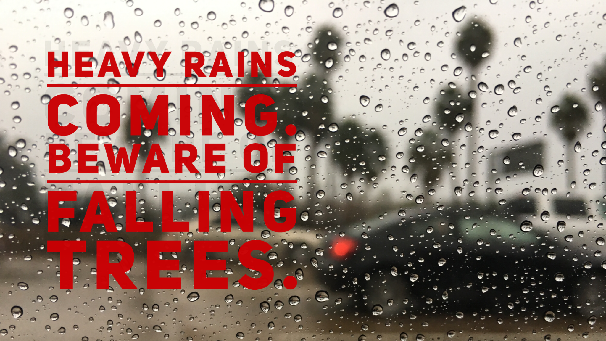
Urban flooding is possible in some areas Wednesday evening into Thursday. With twice the cumulative rain as this time last year, there is a risk of falling trees due to saturated soils and breezy conditions.
Please watch out for toppled trees and loose tree limbs. They can pose a major safety hazard. If tree limbs fall on power lines, do not attempt to remove the branches by yourself. Report the situation to SDG&E by calling 1-800-411-7343.
If you see a downed power line, leave the area immediately and call the same number listed above to report the emergency to SDG&E or call 911.
Deep Drenching and Urban Flooding
According to the San Diego Union-Tribune, the section of the storm that is forecast to move through the center of the county) could “carry enough rain water to fill nearly 3 million average-sized swimming pools.”
Here is a handy summary of what you can expect, courtesy of our meteorology team:
- Timing: Scattered showers will develop late tonight, turning to widespread moderate to heavy rain for Wednesday especially on coastal slopes. Widespread rain, heavy at times, continues on Thursday and diminishes by the evening.
- Rainfall Amounts: Widespread 1-3 inches of rain for the coast, valleys, and 3-5 inches in the mountains. The deserts could see 0.25-0.50 inch of rain.
- Primary Impacts: Heavy rain could result in urban flooding in areas with poor drainage, resulting in impacts to the evening commute. The San Diego River is forecast to rise to just short of flood stage Wednesday night, impacting low lying areas of Mission Valley.
- Snowfall: Snow levels will be above 7,000 ft with this weather event. Therefore, this is a rain event for San Diego County mountains.
- Winds: Southwest winds initially 10-20 mph, strengthening to 20-30 mph with gusts in the 30's on coastal slopes and 40's at ridge tops.
- Lightning: The threat of lightning on Wednesday is minimal.
So when will all this rain stop? The unsettled weather pattern is expected to last through the weekend, but there may be a break in the rain on Saturday.